Duration
Cape Town Destination
Chapman’s Peak Drive
Drive one of the world’s most spectacular coastal toll roads, winding between vertical mountain cliffs and the Atlantic Ocean between Hout Bay and Noordhoek.
Explore the Gorgeous Scenes & Trails
Atlantic seaboard
Chapmans peak drive
First visit
Hout bay
Noordhoek
Photography
Scenic drive
Sunset
Toll road
All Travellers
Family & Kids
Nature & Photography
Destination Story
About Chapman’s Peak Drive
Chapman’s Peak Drive (affectionately known as “Chappies”) is one of the world’s most breathtaking coastal drives. Hugging the sheer rock face of Chapman’s Peak, the 9-kilometre route winds through 114 curves between Hout Bay and Noordhoek, offering dramatic drop-offs into the ocean below and endless Atlantic horizons.
Why drive Chapman’s Peak Drive?
Cape Town Tourism and engineering heritage bodies recognise Chapman’s Peak Drive as a masterpiece of coastal civil engineering. Built between 1915 and 1922, the road underwent major modern safety upgrades featuring half-tunnel rockfall canopies and catch fences, making it a safe yet thrilling scenic experience.
What to see and do
- Pause at Lookout Point 10: The highest viewpoint on the drive offers panoramic views looking back across Hout Bay harbour, Sentinel Peak, and the Atlantic coastline.
- Admire half-tunnel engineering: Drive under massive overhanging rock faces cut directly into the mountain cliffside.
- Picnic at designated viewing spots: Take advantage of stone picnic benches and safe turnout bays perched high above the surf.
- Golden-hour sunset photography: Watch the sun sink below the horizon, casting a warm glow across the cliff walls and ocean surface.
- Connect Hout Bay and Noordhoek: Use the drive as a scenic link between Hout Bay and Noordhoek.
How long should you allow?
Allow 1 to 2.5 hours for the drive, including multiple lookout stops and photography pauses. It forms the highlight section of a full-day Cape Peninsula circular tour.
Weather and operational status
Because the road is built along steep mountain cliffs, safety systems automatically close the toll plaza during severe weather, high winds, or heavy rains. Always verify live open/closed status on the official Chapman’s Peak Drive website before driving to Hout Bay.
Build it into a Peninsula loop
Incorporate Chapman’s Peak Drive into a South Peninsula day trip after visiting Hout Bay, continuing onward to Noordhoek, Cape Point, and Boulders Beach.
Planning notes
- Toll fees apply per vehicle at the Noordhoek side plaza; major credit cards and cash are accepted.
- Never stop your vehicle on the roadway; only pull into marked paved viewing bays.
- Cyclists and pedestrians must follow specific direction and safety regulations.
Sources and further reading

Local Planning Notes
What to keep in mind before you travel.
Check live Chapman’s Peak Drive operational status before departing. High winds, heavy rain, or maintenance work can cause temporary road closures. Use designated parking bays only; stopping on the narrow road structure is strictly prohibited.
01
Access & Terrain
Major designated picnic areas and viewing pull-offs (such as Lookout Point 10) have paved parking; road can close during severe weather or high wind.
02
Best Visit Time
Late afternoon for golden-hour lighting and sunset over the Atlantic Ocean, or morning as part of a south-bound Peninsula itinerary.
03
Verified Chauffeur
Igshaan Jonathan · Local Route Planner
04
Private Vehicle
Door-to-door flexibility on your terms.
Explore Further
View all places →
Curated Places in Explore the Gorgeous Scenes & Trails
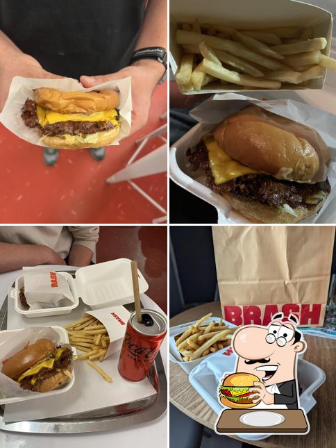
Brash Burgers
Sea Point’s buzzing retro smash burger diner serving ultra-crisp lacy-edged smashed beef patties, Martin's potato rolls,…

Jerry’s Burger Bar
New York-style craft burger bar famed for its stuffed gourmet "Seven Deadly Sins" patties, craft beer…

Le Pickle Burger Bar
Trendy De Waterkant smash burger and cocktail joint famous for house-brined dill pickles, smashed chicken patties,…
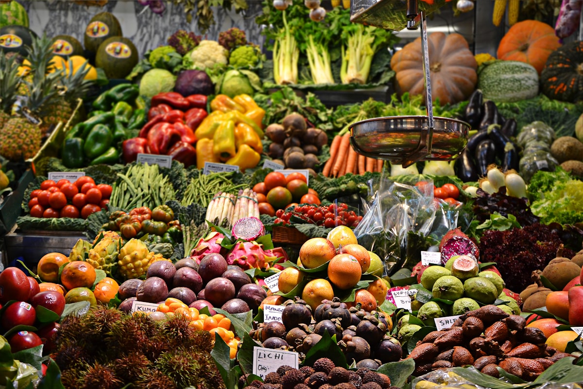
Oranjezicht City Farm Market
Cape Town's flagship weekend farmers market at the V&A Waterfront, with 40+ local farmers, 80+ artisanal…
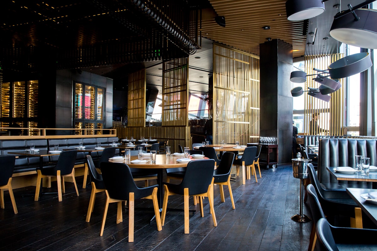
The Pot Luck Club
Globally inspired small-plates restaurant on the sixth floor of The Old Biscuit Mill Silo in Woodstock,…
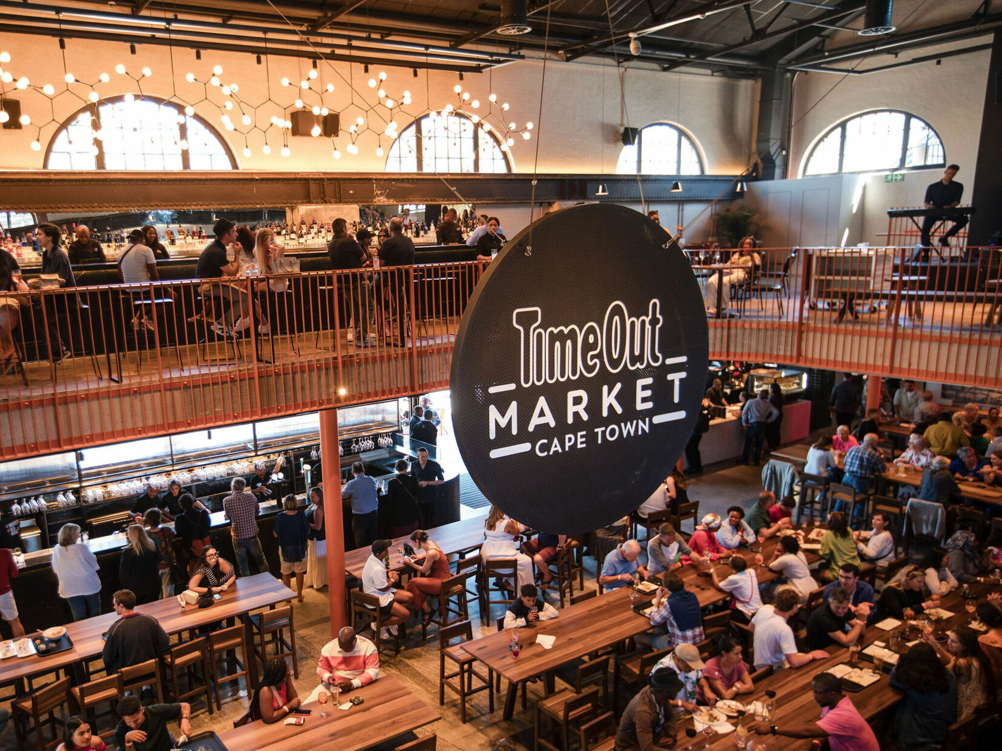
Time Out Market Cape Town
Cape Town's premium curated food hall in the historic Old Power Station at the V&A Waterfront…
Curated Travel Routes
View all tours →
Curated Private Packages & Circuits
Private package
Active Cape Town and Big Outdoors
A flexible active travel package combining mountain viewpoints, a sunset and a wildlife day outside the city.
Lion’s Head
Table Mountain
Signal Hill Sunset
Aquila Safari
 Private package
Cape Peninsula Coast and Wildlife Day
A full Peninsula day connecting Cape Point, penguins, Chapman’s Peak and Hout Bay into one scenic route.
Cape Point
Boulders Beach
Chapman’s Peak Drive
Hout Bay Harbour
Destination Categories